Navigation 2
- right_en
- rightlower_en


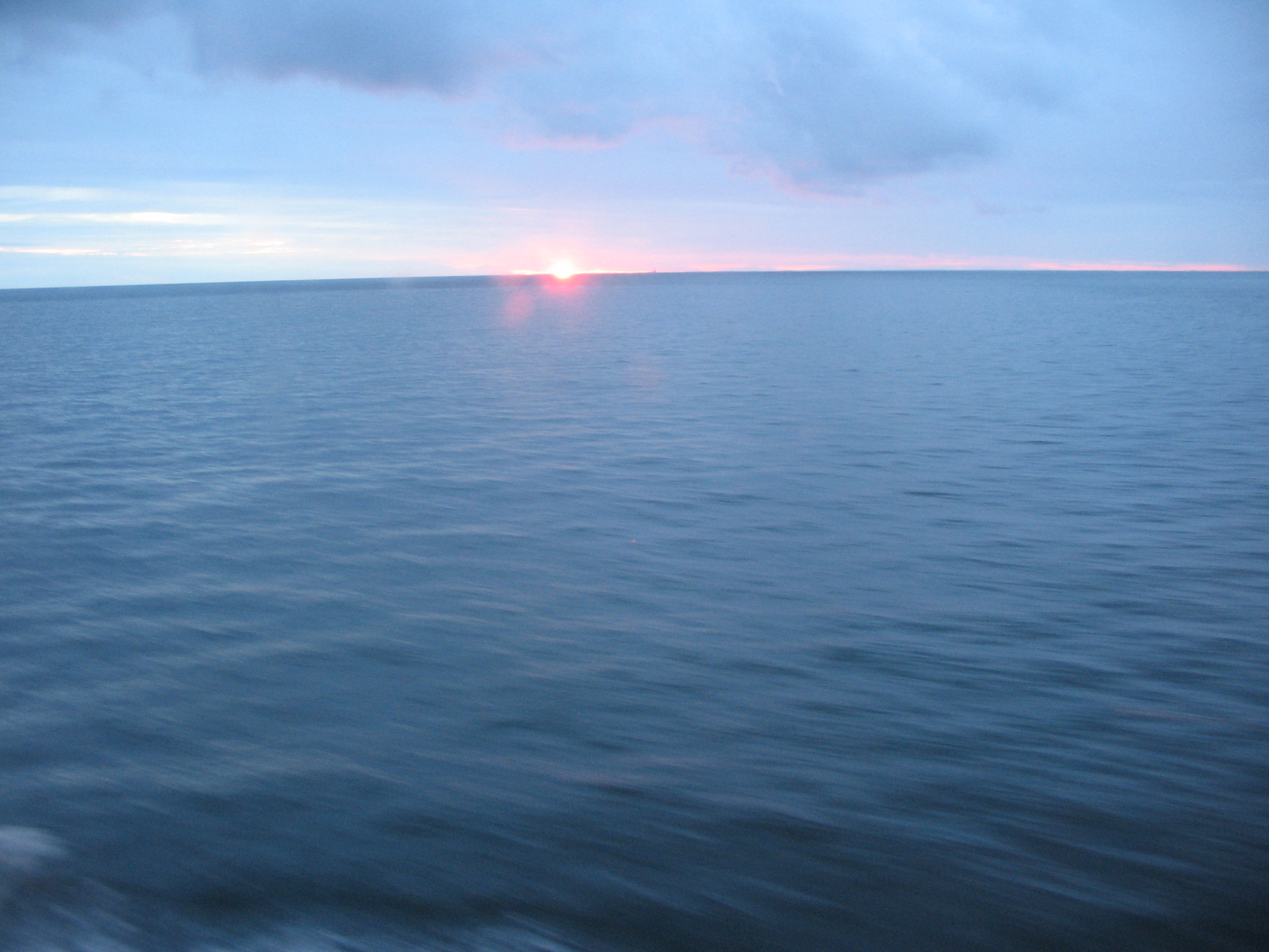
In the past centuries sailors did not have modern instruments for determining their location. They had to navigate on the high seas by means of nature. The celestial bodies enabled them to know both the current time and orientation. Sailing on a cloudy or stormy weather must have been difficult. After the sunset, the stars in the night sky helped the sailors to find their way over the seas (picture IH, Finland).
Aim: To learn to know the nautical stars and practice navigation by means of them.
Explorations: The students learn to know the circumstances of the sailors in the old days, especially how the sailors navigated and determined the time. These are the topics of which the students will, using source material, draw up short descriptions for presentation and further discussion in the class.
Nowadays the sailors determine the time and their location by using modern, accurate and fast electronic equipment which is constantly at their disposal. In the old days that was not the case. Before the invention of even the simplest technical devices the only source of information on the high seas was the open sky above the ocean. The Sun and the Moon were for them important sources when they were seeking information. The sailors learned also to recognize constellations as well as survey and take notes of motions in the night sky.
On the northern side of the tropic of Cancer, the Sun, Moon and part of the stars seem to rise in the east, travel their path via the south and set in the west. Stars near the North Pole do not set under the horizon. That is why they are called circumpolar stars, i.e. stars around the North Pole. On the southern side of the tropic of Capricorn the path of the Sun and some stars goes via the north. On the area between the tropics the situation is more complicated. For one part of the year the path of these celestial bodies goes via the north, for the rest of the year the path goes via the south.
Sailors knew these regular motions of celestial bodies and they learned to use them. About 30 of the brightest stars guided them in determining their orientation and location. These stars are called nautical stars. Even in the era of modern navigating equipment sailors are taught to recognize these stars and use them.
The following exercises familiarize us with some nautical stars on the northern hemisphere. We learn to navigate in the sky, i.e. to find stars with the help of well-known stars. Let’s start from the figure everybody knows, the Big Dipper.
1) The Big Dipper is a familiar ladle-like figure with seven stars in the northern sky. It belongs to the constellation of Ursa Major. Consider the distance between the second last and the last star in the ladle as a yardstick and let it show direction for a distance of five yardsticks from the last star on. There we will find the North Star, i.e. Stella Polaris, which belongs to the constellation of Ursa Minor.
2) Let’s choose the distance between the first two stars in the handle of the Big Dipper as a yardstick and measure 5 steps backwards along the direction of the curve in the handle. We will find Arcturus in the constellation Bootes.
3) Continue to the same direction another 5 steps. Find Spica in the constellation of Virgo. It is very near the ecliptic.
4) Let’s choose a new yardstick, the distance between the fourth and the sixth star of the Big Dipper. The star at the distance of four yardsticks to the north from the dipper is Pollux, the twin star in the constellation of Gemini.
5) The distance between the stars of Gemini as a yardstick continue 6 steps to the north. Find Capella, a rather bright star in the constellation of Auriga.
6) Turn 90 degrees to the right from the previous direction. At a distance of 6 steps therefrom, the yardstick being the same as in task 5, there is Aldebaran, the mean eye in the constellation of Taurus.
7) Take a distance between the North Star and Capella as a new yardstick and let it show direction to a distance of one yardstick. There is the hot and bright Rigel in the constellation Orion.
8) On the northern side of Rigel, in the constellation Orion, there is a belt-like line of three stars. It gives direction to the south. At the distance of six times the length of the belt there is a very bright star twinkling blue and green light. It is Sirius in the constellation Canis Major. It is the brightest star in the sky.
9) As far from the North Star as Capella but on the opposite side of it there is the twinkling Vega in the constellation Lyra. It is the second brightest star in the northern sky.
Sailors used motions of the Sun in daytime and motions of stars and the Moon at night. They learned to determine the latitude and the longitude of their location by measuring how high in the sky the stars and the Sun were. By observing motions of these celestial bodies, they learned to know the exact time of the day.
Methods: Getting to know star maps, drawing a nautical map and testing it in authentic circumstances.
Materials: Star maps, lists of stars.
Pondering: Why is it important also to the modern sailors to be able to use stars for navigation? What do we do when we are beyond all reach of information on time and our location?
Evaluation of the results: Test self-made maps and their instructions in nature. Use fingers or sticks as yardsticks. Discuss the benefits of modern devices sailors have and ponder their deficiencies.
Hints: The navigation routes can be drawn on a white version of the star map by using colours. The joint observation is easier when the colours help in guiding the next move.
Keywords: Star map, list of stars, defining time, defining location, compass, sextant, determining the latitude, determining the longitude, longitude, altitude.
Previous page: Constellation
Seuraava sivu: Black hole